Overview
National Park Interactive Map and Posters
Allows you to search up your college and finds National Parks in your region.
Adobe Illustrator, Adobe InDesign, and Adobe XD
Interactive Prototype:
Click through below!
Posters/Postcards:

The Process:
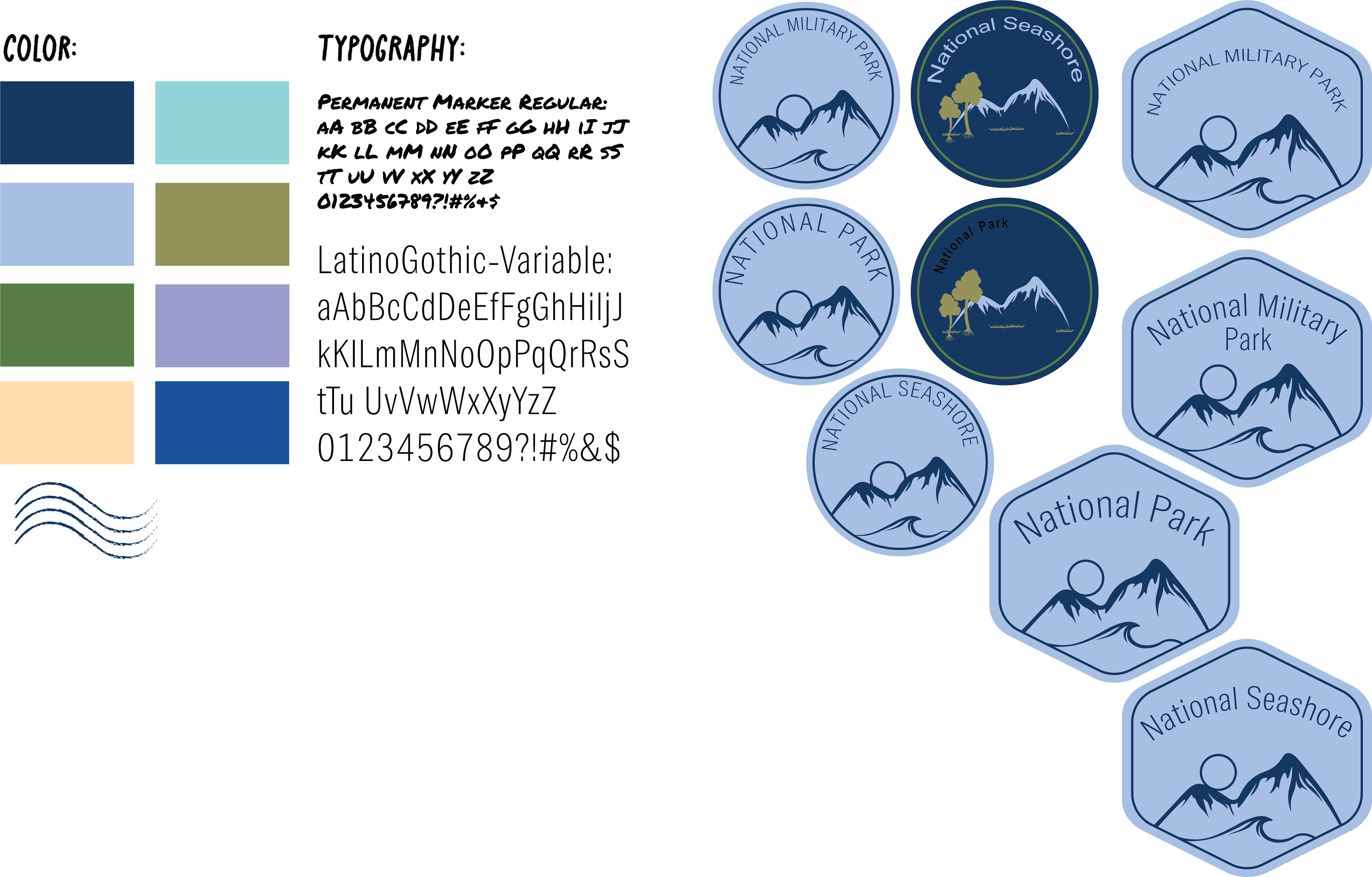
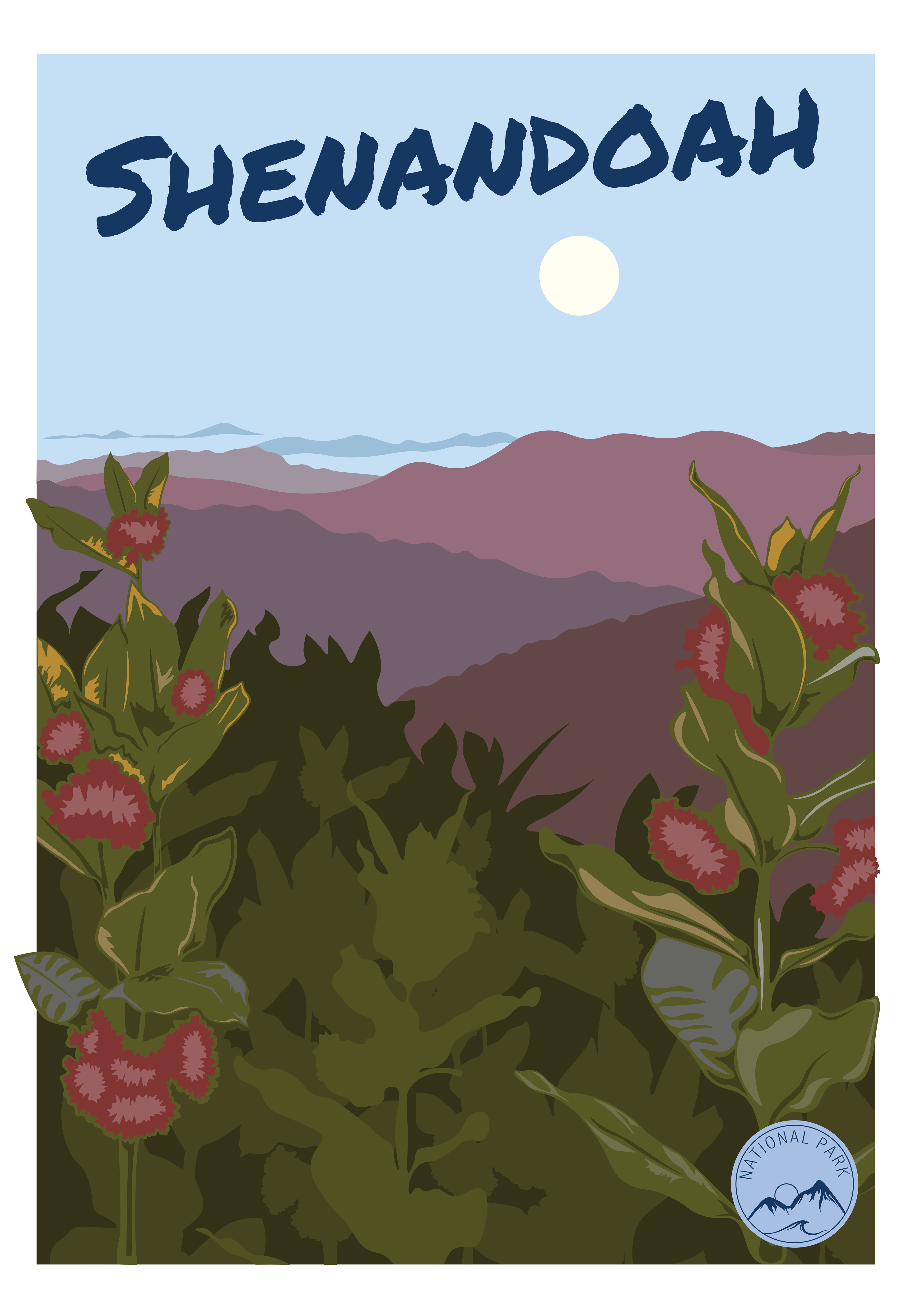
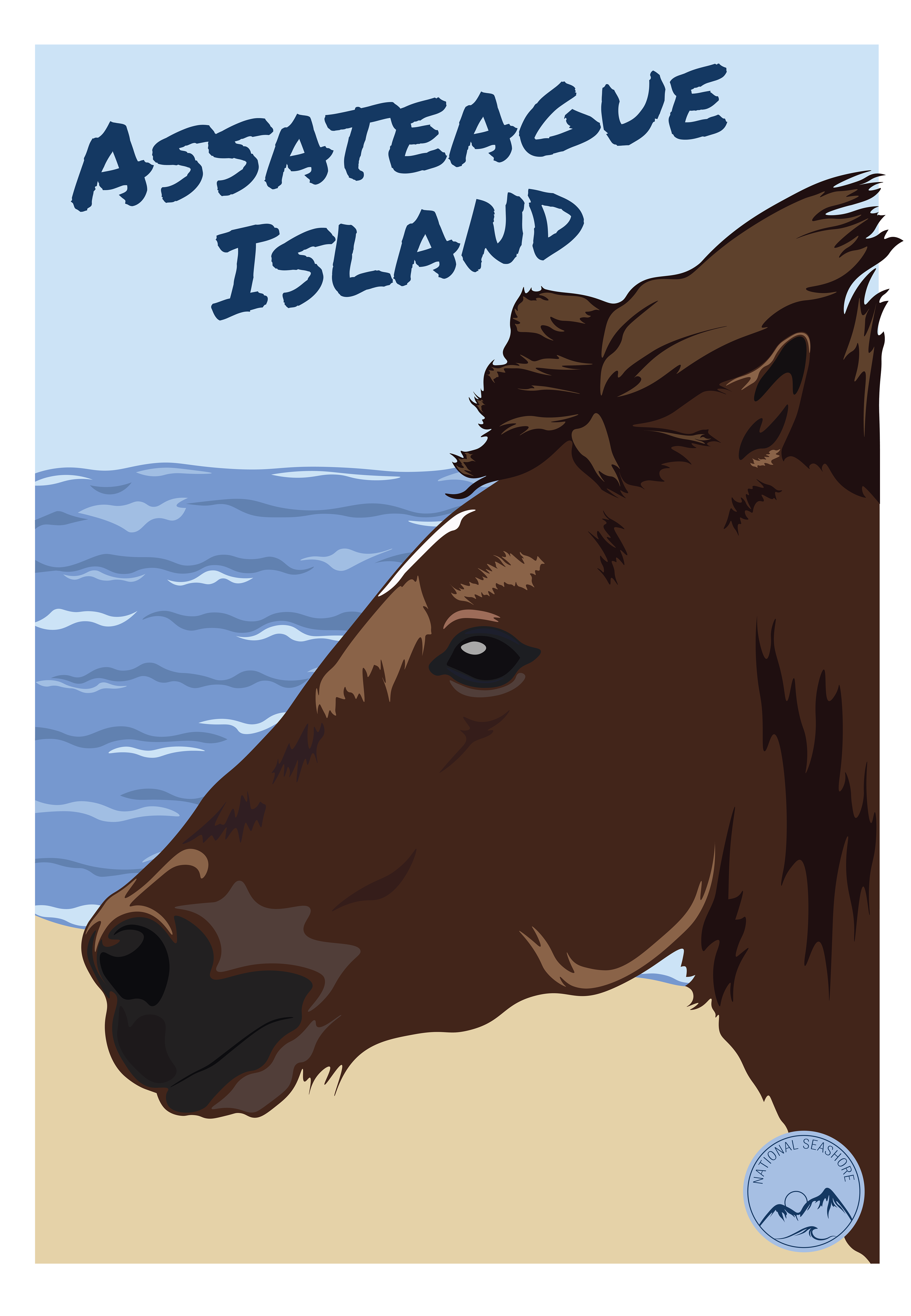
I started off initially by brainstorming the look of how I wanted my interactive map to feel. I wanted to use muted earth tones in the designs and a hand-drawn type to give it a post card feel. I started with the poster designs. I sketched out several different designs and settled on one that made it feel like a postcard. After, I traced images from my own photos in Adobe Illustrator of three National Parks that I wanted to focus on, Shenandoah, Assateague, and Gettysburg. After I finished the posters I moved onto the interactive slides where I laid them out in Adobe InDesign. The research was a big part of this project. I primarily used the National Park's website to find most of my information. After I finished the slides, I transferred them to Adobe XD where I added buttons and turned them into an interactive prototype.